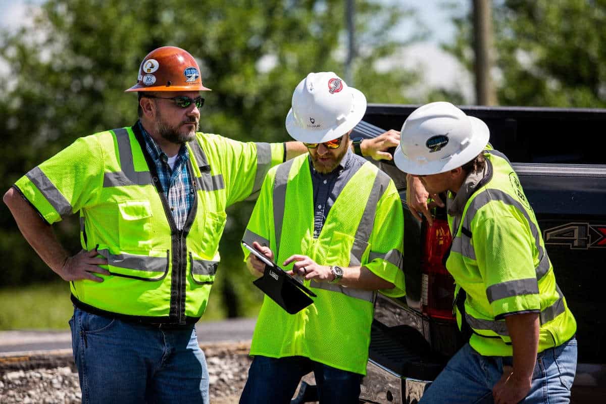
A Total Solution For Utility Mapping Needs
Juniper Systems offers utility contractors rugged tablets, GNSS receivers, and utility mapping software that make projects more efficient and cost-effective.

Juniper Systems is a leading manufacturer of ultra-rugged tablets, GNSS receivers, and mapping software. With Juniper’s total solution, it has never been easier for utility contractors and their teams to create detailed maps of new utilities as they are being laid or during the locating phase of existing utility infrastructure.
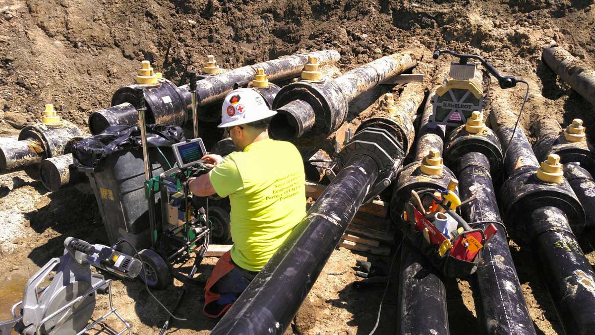
Work that existing utility customers of Juniper Systems have performed with our total solution includes mapping private utilities after underground locating has taken place so that owners and stakeholders have a detailed map long after the paint has worn off the ground and the flags have gone missing. Other projects include property management, commercial irrigation, stormwater systems, and new utility placement.
One of Juniper’s underground utility locating customers in Vermont, Button Underground Locating, uses Juniper’s Uinta mapping and data collection software and Juniper rugged hardware to provide detailed maps to project stakeholders.
“It’s just nice to have everything all bundled in one package,” said Tyler Button, owner of Button Underground Locating. “Everything is right on there; you don’t have any control issues that are proprietary and stuff. For my needs, it’s like a Swiss Army Knife.”
Juniper’s Uinta mapping software offers custom mapping templates, layers, and easy exporting of projects in common file types and helpful ones for reports, such as PDFs. This makes custom projects and the desired deliverables at the end of a project that much easier. Uinta is also easy to use, and most individuals can be trained and begin mapping within a few minutes.
Juniper’s Mesa family of rugged tablets offers users devices that are rugged and built for use in extreme conditions. Mesa rugged tablets are available with 10.1-inch and 7-inch displays and run on either Windows or Android operating systems.
The Geode GNSS Receiver allows for scalable mapping accuracy. From sub-meter to two-centimeters with RTK corrections the Geode allows users to choose the accuracy they need and not pay for what they don’t.
These elements all come together to form a total solution for utility mapping applications. Ease of use and customization allow for teams to begin mapping meaningful data quickly. Juniper hardware and software are all backed by our world-class support. If you call in for technical support, you will talk to a live person in our Utah-based office. This is all in the same facility where our products are designed and assembled. Buying from Juniper is like buying peace of mind.
If you need an easy-to-use mapping solution for utility applications, contact Juniper Systems today. Demo solutions are available.