INSIDE LOOK: New Subsite UtiliView Locating and Mapping App
In today’s digital world, data is key. Collecting accurate information is a crucial first step, but increasingly, the ability to share, analyze and manage data is leading to optimized efficiency, productivity and profitability.
This is especially true in utility locating, where accurate locate information is only valuable if it is in the hands of the people who need it. Having information that is accessible and up-to-date is critical for safe and seamless work on jobsites with existing utilities.
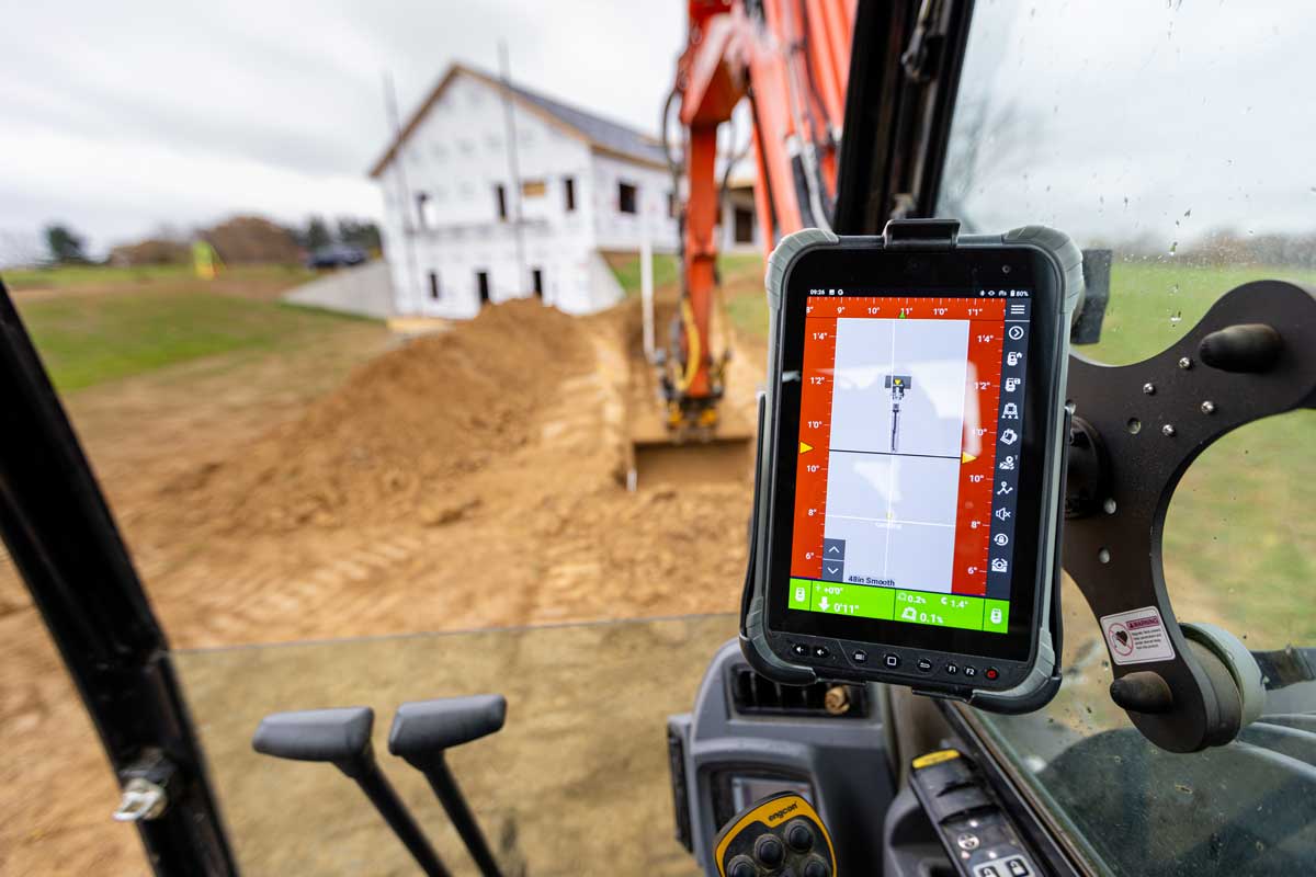
Now, contractors can locate and map utilities more quickly and with fewer steps using the new Subsite UtiliView utility mapping app. The free app allows users of Subsite’s UtiliGuard 2 RTK locator to send utility data directly to an Esri map without needing to transfer data or convert files – steps that until now have been required to map utilities.
“The UtiliView app was developed to enhance the locate experience for technicians when they need to document and record buried assets,” said Rodolfo Cabello, product manager for Subsite. “Our goal is to make sure that the process is simple, easy to use and less cumbersome. Previously, locators would need to transfer information collected in the receiver from each locate before uploading to the cloud.
“The UtiliView app makes locate jobs easier and simpler to complete than ever, allowing users to now add utility data to maps with one push of a button. Using the app, the receiver communicates via Bluetooth directly to a web-enabled phone or tablet, eliminating much of the hassle that can come with locating and mapping utilities. It requires fewer steps than any other solution on the market, so both administrators and those on the jobsite can work more efficiently.”
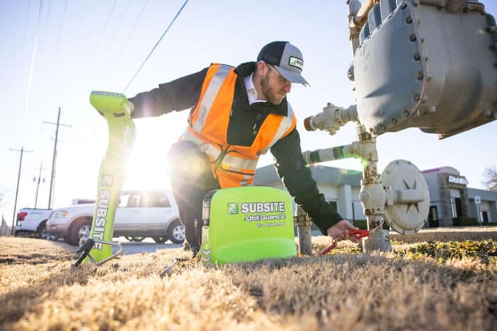
UtiliGuard 2 locators use electromagnetic technology to detect and locate utilities such as pipes, cables, and other buried infrastructure. There is a range of product options available from basic to advanced, depending on the need and the experience level of the operator. The locator verifies the path of utilities by applying a signal directly to the utility (assuming it is conductive or has a tracer wire) and tracking it with a handheld locator. In the cases of non-conductive utilities with no tracer wire, there are available beacons or sondes that can be inserted through the pipes, allowing the handheld receiver to track its location. All of the information collected by the receiver, including the settings used to collect the data, can be saved and managed by administrators.
Once utility data is collected, it can be accessed from anywhere – like by a locate technician in the field or a GIS administrator in a back office – all while being securely stored in a private environment. Photos can also be added to log points in the UtiliView app for visual documentation and to create clearer, more complete records. And instant distance measurements can be generated to save time and improve record accuracy.
One unique feature included in the UtiliView app is Subsite’s patent-pending Point Navigation feature. This allows UtiliView app users to easily access and navigate to previously located positions – for example, finding out-of-the-way points of interest in wooded or rural areas. This reduces guesswork and improves field efficiency. Historically, users have been required to connect their locate equipment to a PC and then manually find historical points and load them into the receiver.
GIS administrators can set up the UtiliView app with a one-time process. They can also add layers for gas, water, electric utilities and more. And they can make maps accessible with QR codes to promote uniformity across devices. Additionally, while some utility locators must be connected to a PC to be set up, the UtiliGuard RTK 2 locator can be ready to use as soon as the UtiliView app is downloaded on a mobile device. In areas with limited cell connectivity, information can still be stored on the device and manually transferred as before.
The UtiliView app is available for Apple and Android devices. It can be downloaded from Google Play and the Apple Store. For more information on the UtiliView app, visit the Subsite website or contact a local Ditch Witch dealer.
Pro Tip: Selecting the Right Locating Frequency
Rodolfo Cabello, Locating Product Manager for Subsite, says that getting the right frequency is the first step in successful locating. “Some contractors get into the habit of using a ‘favorite’ frequency, but we recommend starting at the lowest possible frequency and then working your way up. By doing this you increase your ability to locate accurately and decrease the likelihood that the signal will ‘bleed off’ onto a utility that might not be your target. This becomes more important when working in a congested corridor.”
Using this and other best practices will help ensure that you get the most out of your locating equipment and achieve accurate results.