What Lies Beneath? Utility Location Equipment Helps Contractors Navigate the Underground

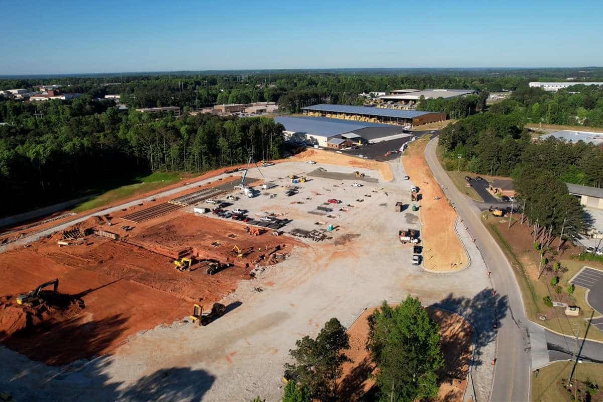
Accurately locating and marking underground utilities prior to excavation is one of the most important tasks a contractor needs to perform to ensure a successful project. First and foremost, utility strikes can potentially result in serious physical injuries. Also, strikes can lead to downtime, lost profit, and reimbursement for damaged facilities.
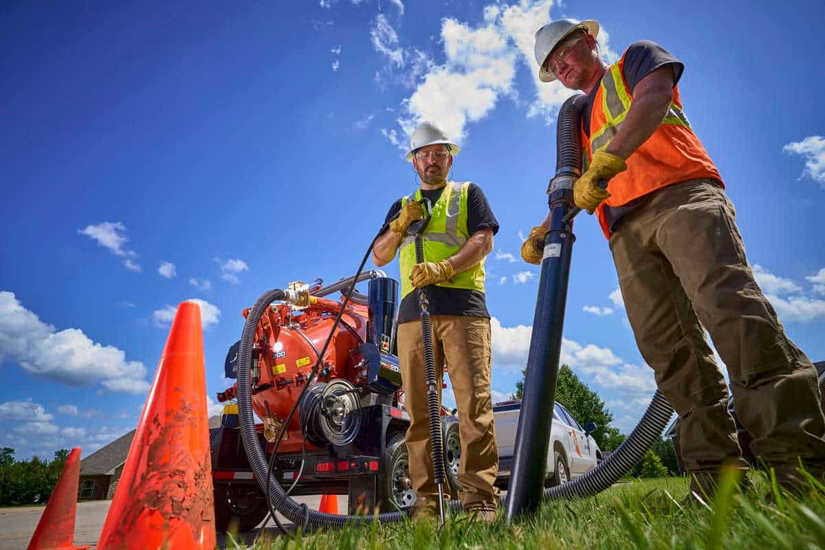
Accurate utility locating is a group effort. Once a jobsite has been outlined and 811 notified, utilities will be marked using color-coded flags and paint to identify the path. For underground contractors, including boring and drilling contractors, verifying the location and depth of existing utilities is a must.
Despite our best efforts, utility strikes are on the rise. According to a 2022 DIRT Report published by the Common Ground Alliance, an industry association of professionals involved in the underground utility industry, damages increased from 2020 to 2022 both in terms of cost (per million dollars of spending) and number (per 1,000 811 requests).
Unmarked or mismarked utilities account for nearly one-quarter of all reported incidents, according to the DIRT Report, meaning that verifying utilities can substantially reduce these occurrences. In order to verify the presence and precise location of existing utilities, professionals need the right tools – and know how to use them properly. And with the utility construction market poised for growth, there will be an even greater need for accurate utility location in the coming years.
Subsite Electronics has been a leading player in the field since its inception in the 1980s. Originally formed to develop guidance equipment for Ditch Witch directional drills, the company has expanded its offerings to include utility locators and ground penetrating radars.

UtiliGuard 2 Locators
UtiliGuard 2 locators use electromagnetic technology to detect and locate utilities such as pipes, cables, and other buried infrastructure. There is a range of product options available from basic to advanced, depending on the need and the experience level of the operator. The locator verifies the path of utilities by applying a signal directly to the utility (assuming it is conductive or has a tracer wire) and tracking it with a handheld locator. In the cases of non-conductive utilities with no tracer wire, there are available beacons or sondes that can be inserted through the pipes, allowing the handheld receiver to track its location.
At the top of end of the spectrum, the UtiliGuard 2 RTK receiver utilizes survey-grade technology and features dual-band antennas to provide operators with accurate and reliable positioning data with centimeter-grade accuracy. Its high-level of accuracy and precision make it an ideal solution for locating abandoned and untracked utilities that are often difficult to pinpoint. By quickly verifying the utilities installed, operators can efficiently tailor their bids to match jobsite needs, as well as gain insight into the underground infrastructure to avoid cross bores during future projects.
However, as with any tool, understanding the process and best practices is key to achieving the desired results.
Rodolfo Cabello, Locating Product Manager for Subsite, says that getting the right frequency is the first step in successful locating. “Some contractors get into the habit of using a ‘favorite’ frequency, but we recommend starting at the lowest possible frequency and then working your way up. By doing this you increase your ability to locate accurately and decrease the likelihood that the signal will ‘bleed off’ onto a utility that might not be your target. This becomes more important when working in a congested corridor.”
UtiliGuard 2 locators offer a feature called AIM (Ambient Interference Measurement) technology that scans the surrounding area for noise and recommends the optimum setting for fast, accurate locates. The combination of automatic real-time data capture, performance analytics information and integrated GPS provides oversight/proof of locator field activity to improve work quality, accuracy and reliability of locate activities.
GPR
In situations where utilities cannot be tracked using standard locators, ground penetrating radar (GPR) offers an alternative solution. Subsite’s GeoRanger XR GPR series are designed to identify both shallow and deep utilities – even those that don’t have a wire tracer – in one pass without the need to go back through with multiple frequencies. The new GPR system offers better resolution on deeper scans, helping identify unlocatable or abandoned utilities. With dual-frequency GPR antennas, operators receive high-resolution scans without sacrificing penetration depth. The 750 MHz antennas identify objects up to approximately 10 feet in depth while the 350 MHz antennas detect objects as deep as 20 feet.
Additionally, the integrated GPS system provides real-time steering guidance when paired with the GPS base station so that time-consuming scan grid layout and marking can be avoided. Using the GPR system’s advanced software, operators can generate 3D results and mark detected objects for interactive visualization, reducing the need for manual hand-written updates.
“A GPR unit is one of the simplest locators to use, assuming you have the right ground conditions,” Cabello said. “It can be useful in locating deeper utilities and utilities that are not conductive or don’t have a tracer wire. They are particularly effective in dry or sandy conditions, but performance can be hindered in clay or ground with a high moisture content.”
Mapping
Over the past few decades, facility owners have increasingly been digitizing their mapping and asset inventory. So, when locating and verifying the precise location of utilities, it is important to have the ability to share that data and incorporate it with GIS platforms to streamline future projects involving buried utilities.
An important feature in today’s utility location devices is the ability to share data with stakeholders. As locators track utilities, they have the ability to log attributes including location, depth and utility type. This information can be transmitted wirelessly in non-proprietary formats (.KMZ, .CSV) so that customers can import the data into their mapping or GIS databases. Locators have the option of using equipment with survey-grade accuracy depending on the need of the end-users.
Using the right combination of utility locating tools improves accuracy and contributes to overall project efficiency, cost savings, and enhanced safety. As technology continues to evolve, these innovative solutions will play a pivotal role in shaping the future of underground infrastructure development.
Jim Rush is Editor of Utility Contractor Magazine. Tags: January/February 2024 Print Issue