Advanced Locating Techniques for Accurate Underground Electrical Utility Mapping
By Emily Newton

Accurate underground electrical utility mapping is essential for preventing digging activities from turning into catastrophes. Putting power lines underground is a well-established way of protecting them from damage caused by storms, vehicular collisions or other instances that could disrupt electricity supplies. The verification of their locations is more successful when people deploy advanced techniques.
The United States’ Current System Falls Short
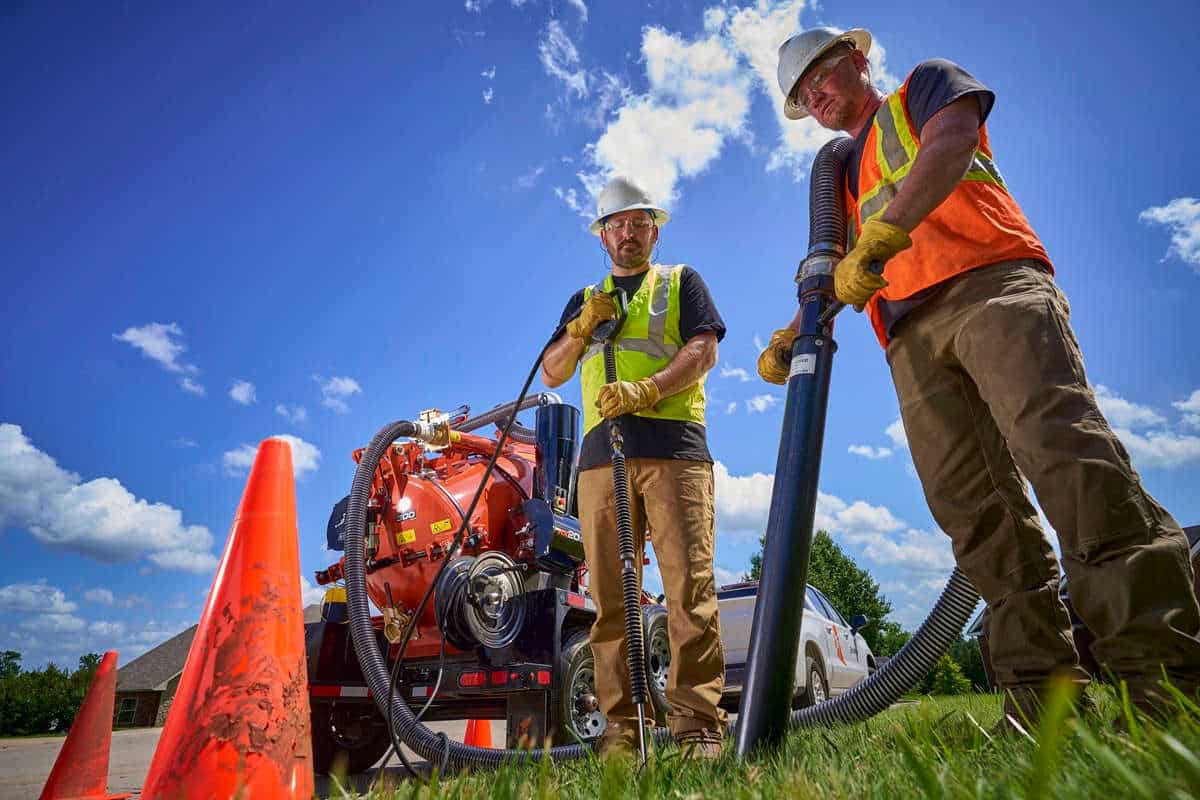
The United States utilizes a phone-based system where anyone planning digging-related activities must dial 811 before beginning. Doing that allows a person to alert the respective utility providers, who mark the approximate areas of underground lines with flags. This approach should stop a person from digging somewhere and unwittingly disturbing buried infrastructure.
However, an independent review showed failures of this system cause $61 billion a year in waste while creating public safety hazards. More specifically, those sent to locate the buried lines often receive incorrect information. Even if those workers place flags in the right spots, the construction work may not happen after all. If it does, the flags can get knocked out of place when it happens.
These issues mean it’s time to update mapping processes, particularly concerning line localization. Fortunately, advanced technologies can do that in the U.S. and elsewhere.
Creating a Detailed Digital Twin for Mapping
Manufacturers, construction site managers and others often create digital twins of physical assets. Doing so aids planning and helps clients know what to expect when the early stages of construction are underway. A similar approach could make mapping underground electrical lines more successful, too.
In the United Kingdom, an initiative called the National Underground Asset Register (NUAR) will show the locations of underground cables and pipes via a digital twin. Thus, it’s useful for underground electrical utility mapping and other projects that require people to have accurate information before starting to dig.
This effort is also highly collaborative. It features location data from more than 80 organizations, and 100 others submitted information that will get added to the map soon. This amount of data is promising, particularly because this project’s first phase only launched in March 2023. However, there’s more work to do because the United Kingdom has more than 650 public and private asset holders who have location data and are legally required to share it.
The United Kingdom has about 4 million kilometers of buried cables and pipes, with people digging every seven seconds for installations, repairs and maintenance tasks. However, about 1 in 65 holes dug results in someone accidentally hitting a buried asset, causing £2.4 billion in preventable expenses.
London alone has three utility companies responsible for the electrical infrastructure. So, it’s easy to see how data-sharing processes could get complicated for everyone involved. However, people working on the NUAR project believe it’ll standardize access to information among all asset holders, bringing better efficiency and accuracy.
Combining Technologies for Better Underground Electrical Utility Mapping
Some approaches to the improved mapping of underground electrical utilities rely on multiple advanced technologies. Such is the case with the non-invasive mapping system deployed by Exodigo. It uses artificial intelligence (AI), connected sensors and 3D imaging to scan a site and develop an extensive map from the data. This method reportedly increases site safety and productivity.
A pilot project involved Veteran Pipeline Construction, which needed to install new utility lines in a mobile home community. Because the company had little historical data to guide its efforts, an updated option was needed. Representatives chose Exodigo to provide it.
The underground electrical utility mapping process began with using carts to bring ground-penetrating radar, plus electromagnetic and thermal sensors to the site. This approach can also involve drones, depending on site specifics. These sensors collectively gather underground data, then send it to AI algorithms. The algorithms connect the individual data points from all available information and build a map from it.
This option was safer and more effective than traditional means of mapping. The company’s data showed it found 50% more lines than conventional private location services. Exodigo’s technology also revealed so-called “phantom lines,” abandoned by previous utilities and currently unclaimed. Even though those don’t appear on official records, finding them is essential since some are still live.
Using AI in electrical utility mapping is not yet a widespread practice. However, this example could make people more open to using it, especially if it enables better speed and accuracy.
Working With Data Layers to Make an Accessible Map
Utility companies choose many cost-cutting measures that protect the bottom line without sacrificing service quality. For example, reconditioned transformers are substantially less expensive than new ones, and are rigorously tested before customers receive them. However, people should ideally pair such cost-cutting measures with underground electrical utility mapping so they don’t save money in one regard while wasting money to unsuccessfully locate buried lines.
4M Analytics aims to help, using its process that creates subsurface maps with several data layers. In addition to information such as satellite data, topographical maps and location details, the company relies on artificial intelligence, computer vision and its proprietary mapping technology.
The team’s initial idea was to create a multisource data engine with remote sensing and satellite imagery, then use it to find explosive devices and landmines in post-conflict zones. However, prospective investors viewed the idea as too risky, leading the group to prioritize subsurface utility mapping.
The company’s pitch deck noted that electric grid updates cost $65 billion, and that 2-5% goes to risk management and mitigation. However, underground mapping can reduce many of the delays and inefficiencies. The 4M Analytics team said its solution has near-real-time data that’s constantly updated. Those characteristics greatly improve its accuracy.
4M Analytics chose Texas as the first place to try its technology on real-life projects. Representatives viewed it as a state with many current business opportunities and potential customers.
Technology Improves Underground Electrical Utility Mapping
These are just some of the many ways people can apply advanced technologies to find buried utility lines. In addition to protecting lines by putting them underground, this approach can enable building the necessary infrastructure without disrupting a picturesque local landscape with visible power lines.
Decision-makers will also be more likely to take this approach if they can easily access a reliable map when it’s time to maintain or repair the underground lines. Technologies like those mentioned above have made excellent progress in this area, and continued work should push the boundaries even more.
Emily Newton is a construction and industrial journalist. She is also the Editor-in-Chief for Revolutionized Magazine. Keep up with Emily by following her by subscribing to Revolutionized’s Newsletter.
RELATED: 6 Amazing Ways Robots Help With Underground Utility Inspection