The Digital Forcefield: How Physical AI Is Stopping Utility Strikes Before They Happen
By Gareth Gibson, industry director, utilities, Trimble
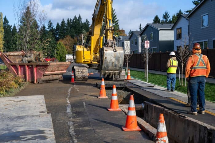
Every year, underground utility damage costs the U.S. economy an estimated $30 billion, much of it in indirect costs like traffic gridlock and emergency outages that run 10 to 20 times the physical repair bill. The 811 system exists to prevent exactly this. Yet on most job sites, the tool standing between a bucket and a live gas main is still a 2D map on a tablet in the cab – a passive display an operator has to notice, interpret and remember to trust, on top of everything else demanding their attention that day.
A few months ago, I wrote about closing that gap with a smarter warning: a machine display that cross-references the operator’s real-time position against the design and intervenes with a message: “Your current depth contradicts the utility design.” We called that the edge of the trench catching up to the office desktop.
It was the right first step. It’s also, in retrospect, only half the answer. A warning assumes someone is going to read it, believe it and act on it, and that’s exactly where things could still go wrong. The bigger challenge is developing a tech-enabled machine that can stop itself instead of waiting to be listened to.
Tripwire vs. forcefield
The industry has spent the last several years perfecting the tripwire: proximity alarms and depth warnings that beep or flash when a bucket gets close to a mapped asset. The problem with tripwires is well understood in human terms as alarm fatigue. An operator who hears a dozen proximity warnings a day, most of them conservative false positives, learns to tune them out precisely when something critical happens. A tripwire depends on a tired, distracted or simply confident operator choosing to listen.
The next step is enforced geofencing, essentially a forcefield, where the excavator’s own hydraulics physically slow or override the joystick near a mapped utility. Instead of alerting the operator and waiting, it fuses real-time GNSS positioning, inertial sensor data and hydraulic valve control into a system that calculates bucket velocity and trajectory against a 3D boundary around a buried asset, and physically slows or overrides the joystick input before contact.
Early deployments of this kind are already running on job sites. In New Zealand, excavators equipped with machine control implemented an ‘invisible fence’ on a live rail corridor and overhead wires during a track upgrade project. If an excavator bucket reached that boundary, the machine control hydraulics are overridden — not just an audible warning to tune out, but a physical limiter until the operator backs the machine away from the risk.
These types of systems layer on top of machine control platforms, like Trimble Earthworks, which already load a 3D design surface directly into the excavator’s electronic controller and valve module to keep a bucket on grade. It’s a materially different claim than a system that only asks the operator to double-check themselves: the same hydraulic control path that keeps a bucket on grade is now enforcing a safety boundary, not just a design surface.
Smarter maps
A forcefield is only as smart as the map behind it – and that’s where the real acceleration is happening.
High-precision GNSS rovers and mobile mapping have long delivered sub-centimeter positioning, the perception layer physical AI depends on. Now, we’re fusing that above-ground point cloud data with below-ground ground-penetrating radar and locator data into a single model, closing the gap between what a machine can see and what it needs to know is buried.
Recording where a cable ends up, however precisely, only tells you what already happened. A more proactive solution is to stop the bucket before it gets there.
Feature extraction that once meant a drafting team spending weeks manually tracing curb lines, poles and trench boundaries out of a point cloud can now happen through AI-driven automatic segmentation, turning raw capture into a finish-ready model in a fraction of the time. Aggregated through a common data environment and pushed to the field through connected mapping and design applications, this is the layer that has to be right before any lockout system downstream is worth trusting. A digital forcefield is only as good as the map it’s enforcing.
The audit trail
A lockout system is only as trustworthy as its maintenance record. Software like B2W Maintain helps to ensure that maintenance and calibration of hydraulic systems and their sensors are done at the proper intervals, GNSS smart antennas and inertial measurement units, turning “the machine should have stopped” into “the machine was verified capable of stopping” before it ever left the yard.
What’s genuinely new, and still early, is using that same connected telemetry to log the moments the system works. Recording every instance a physical lockout prevents contact with a buried asset turning a near-miss from an invisible, undocumented event into a logged safety metric. A running, auditable count of prevented strikes is a safety story and a number insurers and asset owners will eventually want to see.
There’s also a workforce dimension that’s easy to miss. As experienced surveyors and operators retire, the knowledge that used to keep a crew safe around unmapped utilities retires with them. A machine that can reason about its own surroundings doesn’t just prevent mistakes; it lets that expertise scale to a less experienced operator on day one, at a moment when the industry can least afford to rely on institutional memory alone.
The reality of reasoning
A digital forcefield doesn’t replace the operator, the locator or the 811 call. What it adds is a physical check that doesn’t get tired, distracted or tune out one alarm too many. It’s one that perceives its surroundings, reasons about what it’s seeing and acts on that reasoning without waiting to be told. Unlike the warning systems we described before, it doesn’t depend on someone choosing to listen. The data has to be right the first time, which is why the mapping and feature-extraction layer still does the heavy lifting beneath everything else. That capability exists on real job sites today, even if it’s not yet the norm.
Tags: Trimble